Bathydata in Olex
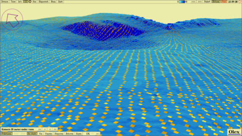
Olex calculates seafloor maps using data from sonar/echo sounder and GPS. For each depth measured, the map becomes more and more accurate. The calculation of seafloor maps is completely automatic and requires no operation. There is no limit to the number of depths that can be handled. The seafloor map can be viewed in 2D with depths or relief, or in 3D with virtual camera. Bottom zoom can be used to highlight selected depth ranges. In addition, there are some special functions such as calculation of water and bottom mass volume. There are also tools for searching and cleaning poor depth data.

