Mapping
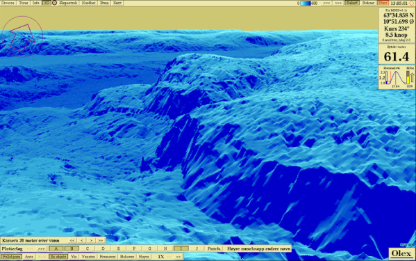
Using data from the ship's echosounder and GPS, Olex calculates a realistic 3D seabed map, in real time. The map is continuously recalculated, as more information comes in. The charting is fully automatic and require no manual operation. The seabed map are shown together with the navigation charts, or in realistic 3D. Hot colours can highlight different depth areas. True measured points are marked with coulored "boxes" which can be switched on to check the surveying density, or be used as an unofficial help in navigation.

