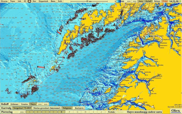
Fishery
Olex assembles vector charts, plot objects and radar targets into a common screen. This provides safer sailing and more efficient fishing.
Unlimited number of marks, text comments, lines and areas can be entered, that gives the users their own possibilities and easy overview.
The plotter data is organized in freely named plotter layers so one can easily control the displayed content on the screen. Olex can be expanded with various software extentions for measuring seabed hardness,
weather forecast and positioning of trawls among other things.

